How does Sentinel-2 protect India’s biodiversity?
India, a country known for its rich biodiversity, is home to a vast array of ecosystems, including forests, grasslands, and wetlands. These ecosystems are not only crucial for maintaining the balance of nature but also provide numerous benefits to humans, including food, shelter, and livelihoods. However, India’s biodiversity is facing numerous threats, including climate change, habitat destruction, and pollution. In recent years, scientists at the Indian Space Research Organisation (ISRO), Indian Institute of Space Technology (IIST), and Gujarat University have developed a new satellite mapping system, Sentinel-2, to monitor and protect India’s biodiversity.
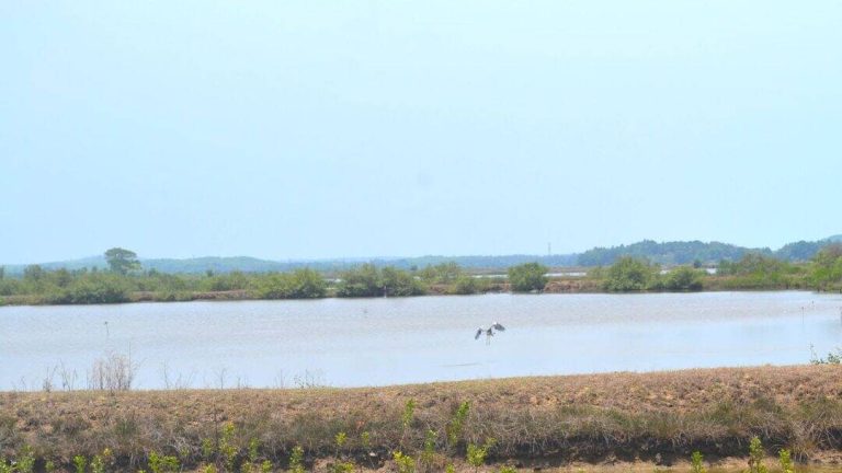
The Sentinel-2 satellite mapping system is a game-changer in the field of environmental monitoring. Equipped with advanced technology, it can identify submerged plants with an impressive accuracy of 94%. This is particularly significant for India’s wetlands, which are home to a wide variety of plant and animal species. The study, which monitored 500 of India’s largest wetlands, has revealed some alarming trends. Nearly 100 lakes, mostly in central and southern India, have seen a major decline in vital plant life. This decline is a cause for concern, as it can have far-reaching consequences for the entire ecosystem.
The use of Sentinel-2 technology has enabled scientists to gather detailed information about India’s wetlands, including the type and extent of vegetation, water quality, and soil moisture. This data can be used to identify areas that are under threat and require urgent conservation efforts. The study has also highlighted the importance of monitoring wetlands, which are often referred to as the “kidneys of the earth” due to their role in filtering water and maintaining water quality.
The decline of plant life in India’s wetlands is a complex issue, with multiple factors contributing to the problem. Climate change, with its associated changes in temperature and precipitation patterns, is one of the main drivers of this decline. Rising temperatures and changing rainfall patterns can alter the delicate balance of ecosystems, leading to a decline in plant species. Additionally, human activities such as deforestation, pollution, and over-extraction of water can also harm wetland ecosystems.
The Sentinel-2 study has significant implications for conservation efforts in India. The data collected by the satellite can be used to inform policy decisions and develop effective conservation strategies. For example, the study has identified areas where conservation efforts should be focused, such as the creation of protected areas and the restoration of degraded habitats. The study has also highlighted the need for urgent climate action, including reducing greenhouse gas emissions and promoting sustainable land use practices.
The use of satellite technology, such as Sentinel-2, is a powerful tool in the fight against biodiversity loss. By providing detailed information about ecosystems, satellite technology can help scientists and policymakers to monitor and manage natural resources more effectively. The Sentinel-2 study is a testament to the importance of collaboration between scientists, policymakers, and conservationists in protecting India’s biodiversity.
In conclusion, the Sentinel-2 satellite mapping system is a significant development in the field of environmental monitoring. Its ability to identify submerged plants with high accuracy has enabled scientists to gather detailed information about India’s wetlands, including the decline of plant life in these ecosystems. The study’s findings call for urgent climate action and highlight the need for effective conservation strategies to protect India’s biodiversity. As India continues to grow and develop, it is essential that we prioritize the protection of our natural resources, including our wetlands, forests, and wildlife.
The development of Sentinel-2 is a shining example of India’s capabilities in space technology and its commitment to protecting the environment. The collaboration between ISRO, IIST, and Gujarat University has resulted in a world-class satellite mapping system that can be used to monitor and manage natural resources more effectively. As we move forward, it is essential that we continue to invest in such initiatives and promote the use of technology in conservation efforts.
The protection of India’s biodiversity is a collective responsibility, and it requires the involvement of governments, scientists, conservationists, and local communities. The Sentinel-2 study is a wake-up call for all of us to take action and work together to protect our natural resources. By leveraging the power of technology and promoting sustainable practices, we can ensure that India’s biodiversity continues to thrive for generations to come.
News Source: https://researchmatters.in/news/satellite-monitoring-reveals-declining-plant-life-hundreds-indian-wetlands