Study Indicates Massive Rivers Flowed in Antarctica 80 Million Years Ago
In a groundbreaking discovery, scientists have uncovered evidence of massive rivers flowing through what is now East Antarctica, a region that was previously thought to be barren and ice-covered for millions of years. The findings, published in a recent study, suggest that these rivers played a crucial role in shaping the landscape, and their existence has significant implications for our understanding of the continent’s geological history.
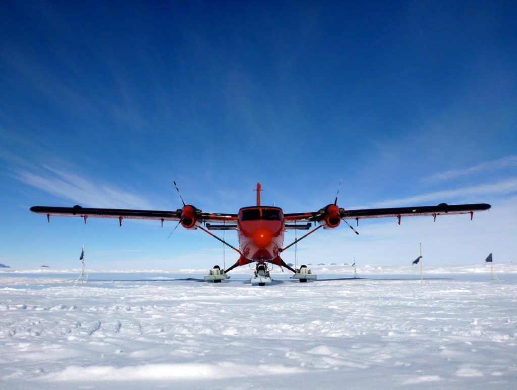
The research, led by a team of scientists from the British Antarctic Survey (BAS), used advanced radar and satellite imaging technology to map the subsurface of East Antarctica. The team discovered vast, flat surfaces and deep troughs stretching across 3,500 kilometers of coastline, which they believe were formed by the erosion of these ancient rivers.
According to Dr. Duncan Pike, a glaciologist at the BAS and lead author of the study, “These features are a game-changer for our understanding of Antarctica’s past. We’ve discovered a landscape that was once very different from what we see today, with massive rivers carving out valleys and shaping the coastline.”
So, when did these massive rivers flow through East Antarctica? The researchers believe that they formed between 80 million and 34 million years ago, during a period known as the Cretaceous and Paleogene eras. This was a time of significant geological upheaval, with the continent experiencing rapid cooling and the formation of the Antarctic ice sheet.
The study suggests that the rivers themselves were shaped by a combination of erosion and sedimentation. As the rivers flowed through the landscape, they carved out valleys and deposited sediment, which was later compressed into rocks. Over time, the rivers may have changed course or disappeared, leaving behind the flat surfaces and deep troughs that the researchers discovered.
One of the most fascinating aspects of this discovery is the timing of the river’s existence. The researchers believe that the rivers flowed through East Antarctica before the current coastline existed, which means that they were shaped by a very different set of geographical and climatic conditions.
“We’re talking about a landscape that was very different from what we see today,” said Dr. Pike. “The rivers were flowing through a much warmer and more humid climate, with no ice sheet to speak of. It’s a really exciting find, as it gives us a glimpse into the geological past of Antarctica.”
The discovery of these ancient rivers also has significant implications for our understanding of the Antarctic ice sheet, which covers around 98% of the continent. The ice sheet is thought to have formed around 34 million years ago, during a period known as the Oligocene epoch, when the climate cooled significantly.
The study suggests that the rivers may have played a role in the formation of the ice sheet, by depositing sediment and altering the geological landscape in ways that ultimately led to the growth of the ice sheet. This is an area that the researchers are keen to explore further, as it could provide valuable insights into the dynamics of the Antarctic ice sheet and its impact on global climate.
So, what does this discovery mean for our understanding of Antarctica’s past and present? The study provides a fascinating glimpse into the geological history of the continent, and highlights the importance of continued research into the continent’s subsurface.
As Dr. Pike noted, “Antarctica is a vast and remote continent, and there’s still so much that we don’t know about its geological history. This discovery is a reminder of the importance of continued exploration and research, and the potential for new discoveries that can shed light on the continent’s complex and fascinating past.”
Source:
https://www.bas.ac.uk/media-post/ancient-river-landscapes-discovered-beneath-east-antarctica/