How does Sentinel-2 protect India’s biodiversity?
India is home to a diverse range of ecosystems, including wetlands, forests, and grasslands, which support a vast array of plant and animal species. However, the country’s biodiversity is facing numerous threats, including climate change, habitat destruction, and pollution. To combat these threats, scientists at the Indian Space Research Organisation (ISRO), Indian Institute of Space Technology (IIST), and Gujarat University have developed a new satellite mapping system, Sentinel-2, which can identify submerged plants with 94% accuracy.
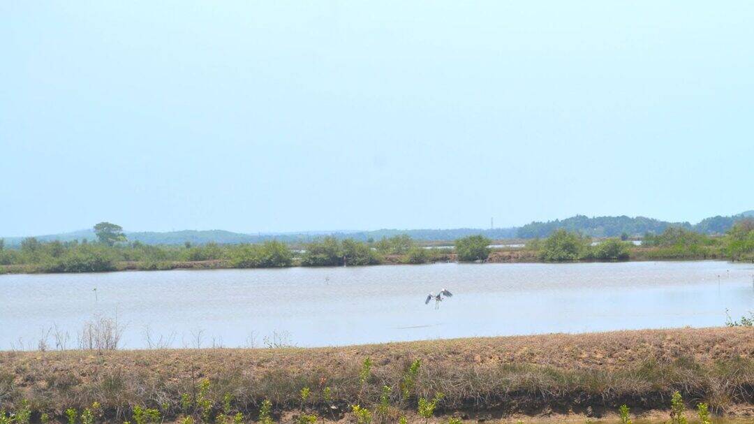
The Sentinel-2 system uses advanced satellite imaging technology to monitor the health of India’s wetlands, which are crucial ecosystems that provide habitat for numerous plant and animal species. The study, which monitored 500 of India’s largest wetlands, revealed that nearly 100 lakes, mostly in central and southern India, are experiencing a major decline in vital plant life. This decline is a cause for concern, as wetlands play a critical role in maintaining India’s biodiversity and providing ecosystem services such as water filtration, flood control, and carbon sequestration.
The Sentinel-2 system is a significant improvement over traditional methods of monitoring wetland health, which often involve manual surveys and field observations. These methods can be time-consuming, expensive, and limited in their ability to cover large areas. In contrast, the Sentinel-2 system uses satellite imagery to collect data on wetland health, allowing for rapid and accurate monitoring of large areas. This enables scientists to identify areas of concern and track changes in wetland health over time.
The study’s findings highlight the urgent need for climate action to protect India’s wetlands. The decline in plant life in these ecosystems is likely due to a combination of factors, including climate change, pollution, and human activities such as over-extraction of water and encroachment. To address these issues, the Indian government and conservation organizations must work together to develop and implement effective conservation strategies.
One of the key advantages of the Sentinel-2 system is its ability to provide high-resolution images of wetlands, allowing scientists to identify subtle changes in plant life and water quality. This information can be used to develop targeted conservation efforts, such as restoring degraded habitats, controlling invasive species, and promoting sustainable land-use practices.
In addition to its applications in wetland conservation, the Sentinel-2 system has the potential to be used in a variety of other contexts, such as monitoring forest health, tracking changes in land use, and identifying areas of high conservation value. This makes it a valuable tool for conservation efforts across India, and highlights the importance of continued investment in satellite technology and remote sensing.
The development of the Sentinel-2 system is also a testament to the power of collaboration and interdisciplinary research. By bringing together scientists from ISRO, IIST, and Gujarat University, the study demonstrates the importance of partnerships between government agencies, academic institutions, and conservation organizations. This collaboration has enabled the development of a cutting-edge technology that has the potential to make a significant impact on conservation efforts in India.
In conclusion, the Sentinel-2 system is a powerful tool for protecting India’s biodiversity, particularly in the context of wetland conservation. The study’s findings highlight the urgent need for climate action to protect these critical ecosystems, and demonstrate the importance of continued investment in satellite technology and remote sensing. By working together to develop and implement effective conservation strategies, we can help to preserve India’s rich biodiversity for future generations.