How does Sentinel-2 protect India’s biodiversity?
India, a country known for its rich and diverse biodiversity, is facing a major environmental crisis. The country’s wetlands, which are crucial for maintaining the delicate balance of its ecosystem, are facing a significant decline in plant life. This decline is not only alarming but also has severe implications for the country’s biodiversity and climate. In a recent study, scientists at the Indian Space Research Organisation (ISRO), Indian Institute of Space Science and Technology (IIST), and Gujarat University have developed a new satellite mapping system, Sentinel-2, which can identify submerged plants with 94% accuracy.
The study, which monitored 500 of India’s largest wetlands, has revealed that nearly 100 lakes, mostly in central and southern India, are seeing a major decline in vital plant life. This decline is attributed to various factors, including climate change, pollution, and human activities such as deforestation and land reclamation. The study’s findings are a wake-up call for urgent climate actions to protect India’s wetlands and the biodiversity they support.
The Importance of Wetlands
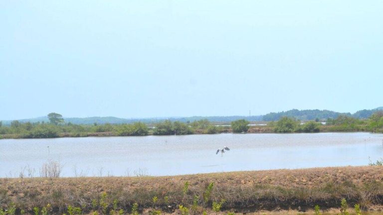
Wetlands are some of the most productive and diverse ecosystems on the planet. They provide habitat for a wide range of plant and animal species, many of which are found nowhere else. Wetlands also play a crucial role in maintaining water quality, preventing floods, and supporting fisheries. In India, wetlands are home to a wide range of plant and animal species, including many that are endemic to the region.
Despite their importance, wetlands are facing numerous threats, including habitat destruction, pollution, and climate change. The loss of wetlands has severe implications for biodiversity, as many species that depend on these ecosystems are unable to survive in other environments. The decline of wetlands also has significant economic and social implications, as many communities depend on these ecosystems for their livelihoods.
The Sentinel-2 Satellite Mapping System
The Sentinel-2 satellite mapping system is a powerful tool for monitoring wetlands and tracking changes in plant life. The system uses high-resolution satellite imagery to identify and map submerged plants, allowing scientists to monitor changes in wetland ecosystems over time. The system has been shown to be highly accurate, with an accuracy rate of 94% in identifying submerged plants.
The Sentinel-2 system has several advantages over traditional methods of monitoring wetlands. It allows scientists to monitor large areas quickly and efficiently, and it can provide detailed information on changes in plant life over time. The system is also non-invasive, meaning that it does not require scientists to physically enter the wetlands, which can be difficult and expensive.
The Study’s Findings
The study, which used the Sentinel-2 satellite mapping system to monitor 500 of India’s largest wetlands, found that nearly 100 lakes, mostly in central and southern India, are seeing a major decline in vital plant life. The decline is attributed to various factors, including climate change, pollution, and human activities such as deforestation and land reclamation.
The study’s findings are alarming, as they suggest that many of India’s wetlands are facing a significant decline in biodiversity. The loss of plant life in these ecosystems has severe implications for the many species that depend on them, and it also has significant economic and social implications for the communities that rely on these ecosystems for their livelihoods.
Urgent Climate Actions
The study’s findings call for urgent climate actions to protect India’s wetlands and the biodiversity they support. The Indian government and other stakeholders must take immediate action to address the decline of wetlands and the loss of plant life. This includes implementing policies to reduce pollution, protect habitats, and promote sustainable land use practices.
The study’s findings also highlight the importance of monitoring and tracking changes in wetland ecosystems. The Sentinel-2 satellite mapping system is a powerful tool for monitoring wetlands, and it should be used to track changes in plant life over time. This information can be used to inform policy and management decisions, and to ensure that conservation efforts are effective.
Conclusion
The decline of plant life in India’s wetlands is a major environmental crisis that requires urgent attention. The Sentinel-2 satellite mapping system is a powerful tool for monitoring wetlands and tracking changes in plant life. The study’s findings, which show a significant decline in plant life in many of India’s largest wetlands, are a wake-up call for urgent climate actions to protect these ecosystems.
The Indian government and other stakeholders must take immediate action to address the decline of wetlands and the loss of plant life. This includes implementing policies to reduce pollution, protect habitats, and promote sustainable land use practices. The Sentinel-2 satellite mapping system should be used to monitor wetlands and track changes in plant life over time, and this information should be used to inform policy and management decisions.