How does Sentinel-2 protect India’s biodiversity?
India, a country with a rich and diverse range of flora and fauna, is home to some of the most unique and threatened ecosystems in the world. The country’s wetlands, in particular, are a vital component of its biodiversity, providing habitat for a wide range of plant and animal species. However, these ecosystems are facing numerous threats, including climate change, pollution, and human activities such as deforestation and land conversion. To monitor and protect these vital ecosystems, scientists at the Indian Space Research Organisation (ISRO), Indian Institute of Space Technology (IIST), and Gujarat University have developed a new satellite mapping system, Sentinel-2.
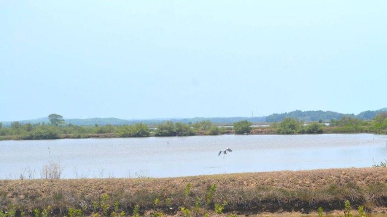
The Sentinel-2 satellite, launched by the European Space Agency, has been used by Indian scientists to develop a new technology that can identify submerged plants with an impressive 94% accuracy. This breakthrough has enabled researchers to monitor the health of India’s wetlands with unprecedented precision. In a recent study, the team used Sentinel-2 to monitor 500 of India’s largest wetlands, covering an area of over 15,000 square kilometers. The results of the study are alarming, with nearly 100 lakes, mostly in central and southern India, showing a major decline in vital plant life.
The decline of plant life in India’s wetlands is a cause for concern, as these ecosystems provide a range of essential services, including water filtration, flood control, and habitat for numerous species. The loss of plant life can have far-reaching consequences, including the degradation of water quality, increased greenhouse gas emissions, and reduced biodiversity. The study’s findings highlight the need for urgent climate action to protect India’s wetlands and the many species that depend on them.
The Sentinel-2 satellite mapping system uses advanced remote sensing technology to collect high-resolution images of the Earth’s surface. These images are then analyzed using specialized software to identify and classify different types of vegetation, including submerged plants. The system’s high accuracy and ability to penetrate water make it an ideal tool for monitoring wetland ecosystems.
The development of the Sentinel-2 satellite mapping system is a significant achievement for Indian scientists, who have been working tirelessly to develop new technologies to protect the country’s biodiversity. The system has the potential to be used in a range of applications, including environmental monitoring, conservation planning, and climate change research.
The study’s findings also highlight the importance of collaboration between different organizations and institutions in protecting India’s biodiversity. The partnership between ISRO, IIST, and Gujarat University demonstrates the value of interdisciplinary research and the need for scientists from different fields to work together to address complex environmental challenges.
In addition to its scientific significance, the study’s findings have important implications for policy and conservation efforts. The decline of plant life in India’s wetlands is a clear indication of the need for urgent action to protect these ecosystems. This can include measures such as habitat restoration, pollution control, and sustainable land use planning.
The use of satellite technology to monitor India’s wetlands is also an important step towards developing a more comprehensive and effective conservation strategy. By providing accurate and up-to-date information on the health of these ecosystems, the Sentinel-2 satellite mapping system can help policymakers and conservationists to identify areas that require priority attention and to develop targeted interventions to protect them.
In conclusion, the development of the Sentinel-2 satellite mapping system is a significant achievement for Indian scientists, and its application in monitoring India’s wetlands has provided valuable insights into the health of these ecosystems. The study’s findings highlight the need for urgent climate action to protect India’s biodiversity and the importance of collaboration between different organizations and institutions in achieving this goal.
As India continues to grapple with the challenges of environmental degradation and climate change, the use of advanced technologies such as the Sentinel-2 satellite mapping system will play an increasingly important role in protecting the country’s biodiversity. By leveraging these technologies and working together to address the complex environmental challenges facing the country, India can take a significant step towards achieving its conservation goals and protecting its unique and threatened ecosystems for future generations.