A More Precise Maritime Boundary: India’s Coastline Reaches New Heights of Accuracy
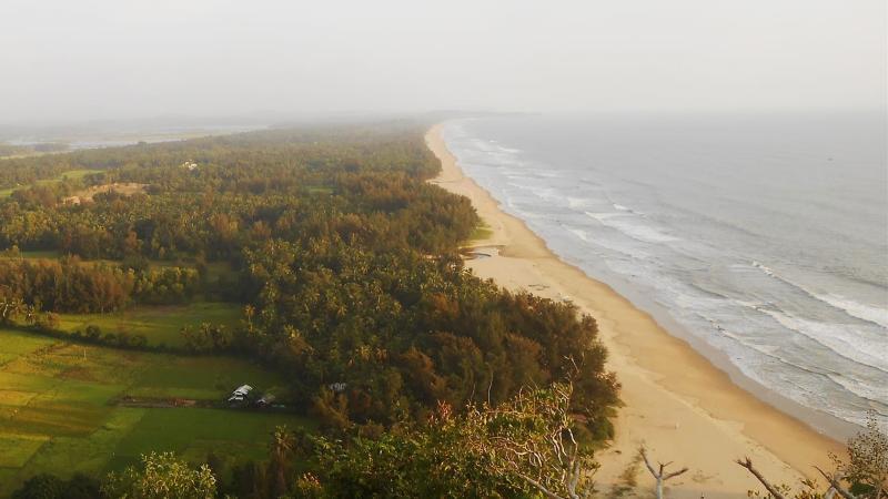
For centuries, India’s coastline has been a vital component of its history, economy, and identity. Stretching over 7,000 kilometers, it has played a significant role in trade, commerce, and cultural exchange. However, recent developments have led to a significant increase in the country’s coastline, from 7,516.60 km to 11,098.81 km. This change may seem dramatic, but it is not a result of expansion, but rather a reflection of advanced measuring techniques and a more accurate understanding of India’s coastal boundaries.
The Importance of Accurate Measurement
Accurate measurement is crucial in various aspects of national planning, including maritime security, environmental planning, and economic development. A more precise maritime boundary ensures that countries can better manage their coastal resources, protect their territorial waters, and respond to emerging challenges such as climate change and sea-level rise.
The Indian government’s decision to update its coastline measurement is a testament to its commitment to accuracy and transparency. The new data is the result of a comprehensive survey that incorporated high-resolution mapping and the inclusion of offshore island coastlines. This approach has provided a clearer picture of India’s extensive coastal reach, which is essential for informed decision-making.
The Impact on Maritime Security
A more precise maritime boundary has significant implications for India’s maritime security. With a longer coastline, the country’s naval forces can better patrol and monitor its territorial waters, preventing illegal activities such as piracy, smuggling, and terrorism. The updated data also enables India to more effectively respond to emerging threats, including the increasing presence of foreign naval vessels in the Indian Ocean.
Moreover, the accurate measurement of India’s coastline enables the country to better demarcate its Exclusive Economic Zone (EEZ). The EEZ is a critical component of maritime security, as it provides a legal framework for the management of natural resources, including oil and gas exploration, fishing, and tourism.
Environmental Planning and Economic Development
The updated coastline data also has significant implications for environmental planning and economic development. A more precise understanding of India’s coastal boundaries enables the government to better manage its coastal resources, including its beaches, estuaries, and mangroves.
The accurate measurement of the coastline can also inform economic development strategies, particularly in the context of coastal tourism and infrastructure development. For example, the updated data can help policymakers identify areas that are most suitable for port development, coastal conservation, and sustainable tourism.
Challenges and Opportunities
While the updated coastline data presents several opportunities for India, it also poses challenges. One of the primary challenges is the need for a more comprehensive understanding of the country’s coastal ecosystems. This includes the need to better understand the impact of human activities on coastal biodiversity, as well as the role of coastal ecosystems in mitigating the impacts of climate change.
Another challenge is the need for more effective governance structures to manage India’s coastal resources. This requires the development of more effective institutional arrangements, including the creation of coastal management authorities and the development of policies that balance economic development with environmental protection.
Conclusion
India’s updated coastline measurement is a significant development that reflects the country’s commitment to accuracy and transparency. The new data provides a clearer picture of India’s extensive coastal reach, which is essential for informed decision-making in areas such as maritime security, environmental planning, and economic development.
While there are challenges associated with the updated coastline data, there are also significant opportunities for India to leverage this information to promote sustainable development and protect its coastal resources. As the country continues to develop its coastal regions, it is essential that policymakers prioritize accuracy, transparency, and sustainability, ensuring that India’s coastline remains a vital component of its economy, environment, and identity.
Source:
https://researchmatters.in/news/india-adds-another-3582-kilometres-its-coastline
Note: The news article can be accessed at the provided URL.