10 Satellites Working to Ensure Citizens’ Safety: ISRO
As tensions continue to rise between India and Pakistan, the Indian Space Research Organisation (ISRO) has taken measures to ensure the safety and security of Indian citizens. ISRO Chairman V Narayanan recently revealed that a fleet of 10 satellites is continuously working around the clock to monitor and protect Indian borders.
In an interview with News18, Narayanan highlighted the importance of satellite technology in ensuring national security. “We have to monitor our 7,000 km seashore areas. Without satellite and drone technology, we can’t achieve many things,” he said.
The 10 satellites, which are part of ISRO’s surveillance system, are equipped with advanced sensors and cameras that provide real-time data and images of the Indian borders. These satellites are capable of monitoring the entire length of the Indo-Pak border, as well as the country’s coastal areas, to detect any suspicious activity or potential threats.
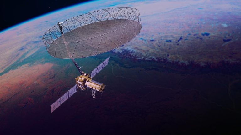
ISRO’s satellite surveillance system is a critical component of the country’s national security infrastructure. The system uses advanced technologies such as synthetic aperture radar (SAR), hyperspectral imaging, and multi-spectral imaging to gather data and images of the Indian borders.
One of the key benefits of ISRO’s satellite surveillance system is its ability to provide real-time data and images to security agencies and military personnel. This enables them to respond quickly and effectively to any potential threats or security breaches.
ISRO’s satellite surveillance system is not only limited to monitoring the Indo-Pak border. The organisation is also using its satellites to monitor the country’s coastal areas, including the 7,000 km long coastline. This is critical in detecting and preventing any potential threats, such as piracy or smuggling, that may arise in the region.
In addition to its satellite surveillance system, ISRO is also using drone technology to monitor the Indian borders. The organisation has developed a range of drones that are equipped with advanced sensors and cameras, which are capable of gathering data and images of the Indian borders.
ISRO’s drone technology is being used to monitor the Indo-Pak border, as well as the country’s coastal areas. The organisation is also using its drones to detect and prevent any potential threats, such as smuggling or piracy, that may arise in the region.
ISRO is scheduled to launch another surveillance satellite on May 18, which will further enhance the country’s national security infrastructure. The satellite, which is expected to be launched from the Satish Dhawan Space Centre in Sriharikota, will be equipped with advanced sensors and cameras that will provide real-time data and images of the Indian borders.
In conclusion, ISRO’s 10 satellites are playing a critical role in ensuring the safety and security of Indian citizens. The organisation’s satellite surveillance system and drone technology are providing real-time data and images of the Indian borders, enabling security agencies and military personnel to respond quickly and effectively to any potential threats or security breaches.
As tensions continue to rise between India and Pakistan, ISRO’s satellite surveillance system and drone technology will play an increasingly important role in ensuring the safety and security of Indian citizens. With the scheduled launch of another surveillance satellite on May 18, ISRO is further enhancing its national security infrastructure and providing an additional layer of protection for Indian citizens.


