Israel Shares Map Showing J&K in Pakistan, Apologises Later
In a shocking incident, the Israel Defense Forces (IDF) shared a map on social media that showed the Indian union territory of Jammu and Kashmir as a part of Pakistan. The map was shared on Twitter, where it sparked a heated debate, with many criticizing the IDF for its mistake.
The map was shared by the IDF’s official Twitter handle, and it showed Jammu and Kashmir as a part of Pakistan, with the international border between the two countries passing through the disputed territory. The map also showed the Line of Control (LoC) that divides the Indian-administered Kashmir from the Pakistan-administered Kashmir.
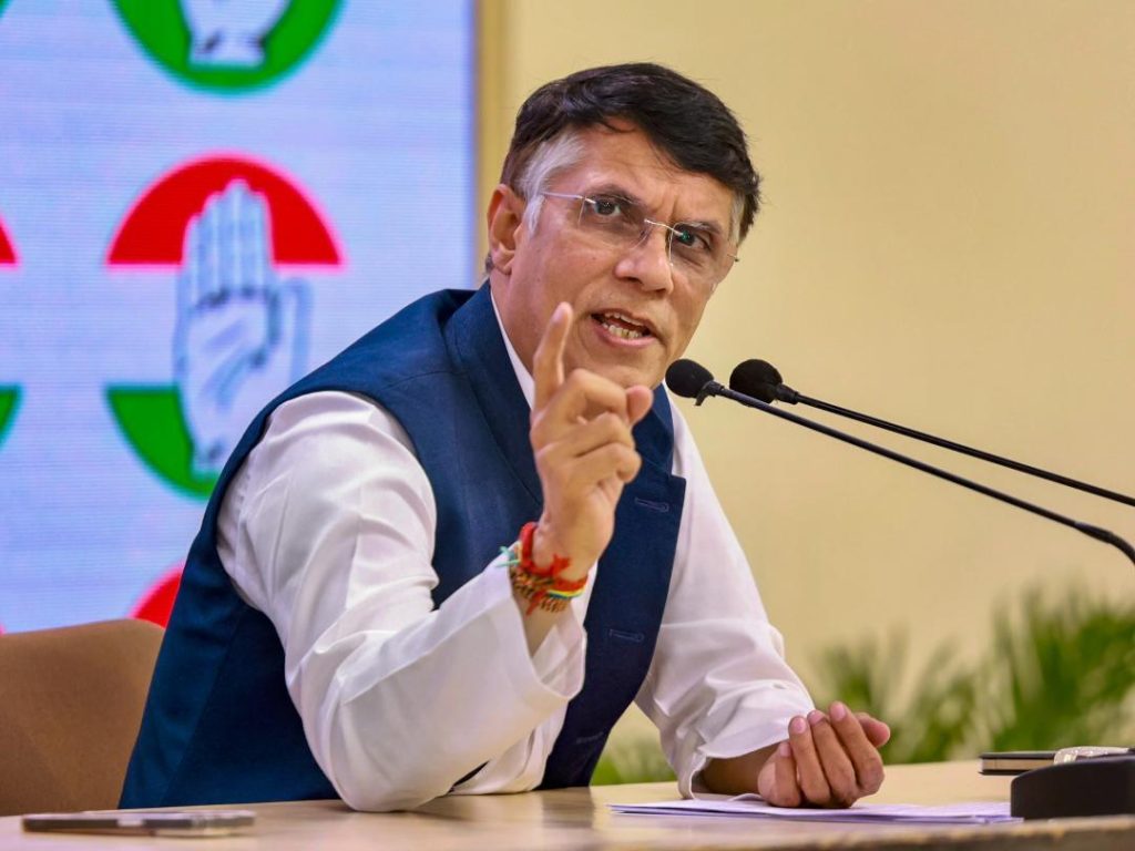
The mistake was quickly picked up by netizens, who were quick to point out the error. Congress leader Pawan Khera was among the first to react, targeting Prime Minister Narendra Modi and saying, “Another day, another feather in Vishwaguru’s cap. His ‘friend’ shows J&K as a part of Pakistan.”
Khera’s tweet was shared widely, and soon the hashtag #IDFMap started trending on Twitter. Many users criticized the IDF for its mistake, saying that it was unacceptable for a country’s military to show a part of Indian territory as part of another country.
The IDF later issued an apology for the mistake, saying that the map was an illustration and didn’t depict precise borders. The IDF claimed that the map was created to show the geographical relationship between the two countries, and that it was not intended to be taken as an accurate representation of the border.
The apology was met with skepticism by many, who pointed out that the IDF’s mistake was a serious one. Many argued that the IDF’s apology was not enough, and that the country’s military needed to be more careful when sharing maps or information about other countries.
The incident has sparked a debate about the relationship between India and Israel, and whether the two countries have a good understanding of each other’s territories. The incident has also raised questions about the accuracy of maps shared by countries on social media, and whether they should be taken at face value.
The mistake by the IDF is a reminder that even countries with a good understanding of each other’s territories can make mistakes. It is also a reminder that countries need to be careful when sharing information or maps about other countries, and that they should not take anything for granted.
In conclusion, the incident highlights the importance of accuracy and attention to detail, especially when it comes to maps and information about other countries. It is a reminder that even countries with a good understanding of each other’s territories can make mistakes, and that they need to be careful when sharing information or maps about other countries.
Sources:

