Israel Shares Map Showing J&K in Pakistan, Apologises Later
In a recent incident that has sparked outrage and raised eyebrows, the Israel Defense Forces (IDF) shared a map on their official social media handle, showing the Indian Union Territory of Jammu and Kashmir as a part of Pakistan. The tweet, which has since been deleted, was met with swift condemnation from politicians and netizens alike.
The tweet, which has been shared by several prominent Twitter handles, including that of Congress leader Pawan Khera, shows a map of the Middle East, with Jammu and Kashmir marked as a part of Pakistan. The map appears to be an illustration, but the presence of Jammu and Kashmir in Pakistan’s territory has sparked widespread outrage.
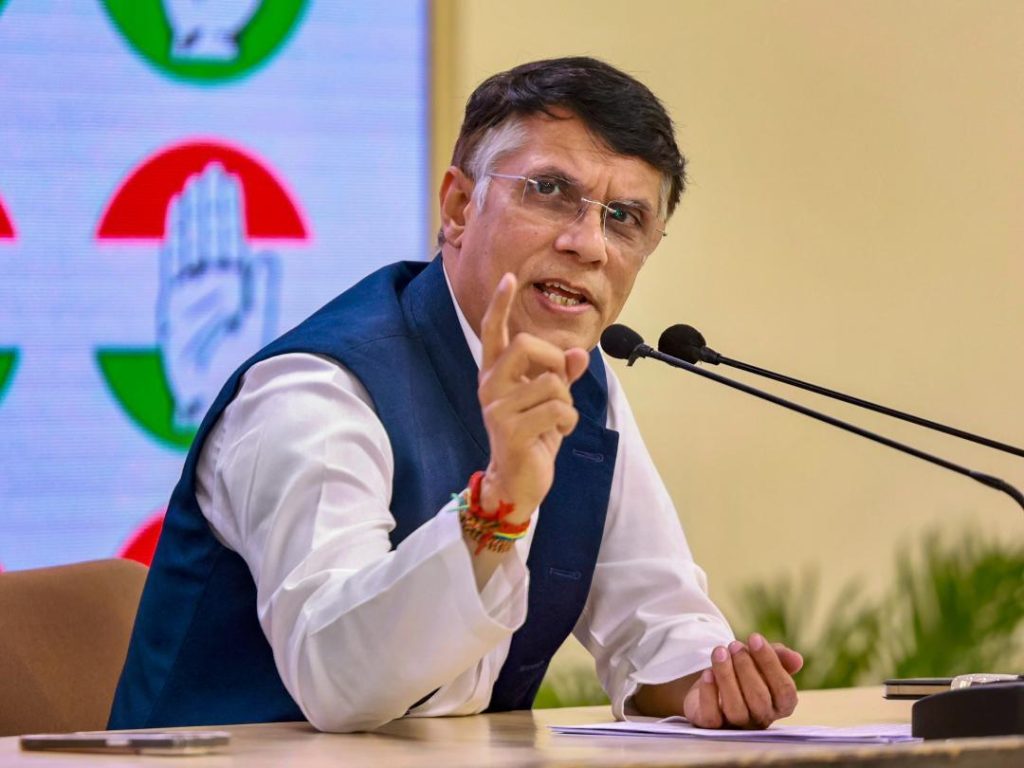
Khera, who was quick to react to the tweet, targeted Prime Minister Narendra Modi, saying, “Another day, another feather in Vishwaguru’s cap. His ‘friend’ shows J&K as a part of Pakistan.” The tweet has garnered significant attention, with many users expressing their shock and disbelief at the IDF’s mistake.
However, it seems that the IDF has since issued an apology for the tweet, stating that the map is an illustration and does not depict precise borders. The apology comes as a relief to many, but the incident has still raised several questions.
What does this incident reveal about the complexities of international relations? Why did the IDF share a map that showed Jammu and Kashmir as part of Pakistan? And what does this say about the current state of Indo-Pak relations?
To understand the context of the incident, it is essential to look at the historical background of the Kashmir dispute. The region has been a contentious issue between India and Pakistan since the Partition of India in 1947. Both countries have claimed the region as their own, leading to several wars and skirmishes over the years.
In recent years, the situation has become even more volatile, with tensions between India and Pakistan escalating to unprecedented levels. The Indian government’s decision to abrogate Article 370 of the Indian Constitution, which granted special status to Jammu and Kashmir, has been seen as a major provocation by Pakistan.
Against this backdrop, the IDF’s tweet can be seen as a significant blunder. It is unclear why the IDF would share a map that shows Jammu and Kashmir as part of Pakistan, especially when the region is a sensitive issue between the two countries.
One possible explanation is that the IDF was trying to illustrate the territorial disputes between Israel and its neighbors. However, this is no excuse for sharing a map that shows Jammu and Kashmir as part of Pakistan, especially when India has made it clear that the region is an integral part of its territory.
The incident has also raised questions about the nature of Indo-Pak relations. While the two countries have made efforts to improve relations in recent years, the situation remains highly volatile. The Kashmir dispute remains a major sticking point, and the incident has only added to the tension.
In conclusion, the IDF’s tweet sharing a map that shows Jammu and Kashmir as part of Pakistan is a significant blunder that has sparked outrage and raised eyebrows. The incident highlights the complexities of international relations and the need for countries to be more careful when sharing information about sensitive issues.
As the situation in Kashmir continues to unfold, it is essential for countries to avoid making mistakes that can escalate tensions between India and Pakistan. The IDF’s apology is a welcome step, but the incident serves as a reminder of the importance of accuracy and sensitivity in international relations.

