Israel Shares Map Showing J&K in Pakistan, Apologises Later
In a shocking gaffe, the Israel Defense Forces (IDF) recently shared a map that showed the Indian Union Territory (UT) of Jammu and Kashmir as a part of Pakistan. The map was shared on social media, and it quickly went viral, sparking outrage and criticism from all quarters. The incident has raised questions about the sensitivity and awareness of Israeli officials, especially in light of the country’s close ties with India.
The map in question was part of a tweet posted by the IDF, which showed a graphic illustrating the geographical locations of the armed forces of various countries. However, in a glaring mistake, the map showed Jammu and Kashmir as a part of Pakistan, which has been a flashpoint in India’s relations with Pakistan for decades.
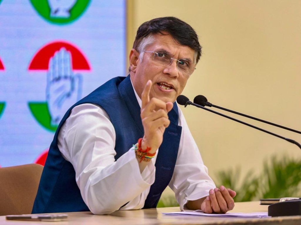
The tweet was quickly condemned by Indian politicians and social media users alike. Congress leader Pawan Khera was among the first to react, saying, “Another day, another feather in Vishwaguru’s cap. His ‘friend’ shows J&K as a part of Pakistan.” Khera’s tweet was a clear reference to Prime Minister Narendra Modi’s close ties with Israeli Prime Minister Benjamin Netanyahu, who has often been referred to as “Vishwaguru” (world guru) by Modi’s supporters.
The Israeli embassy in India was quick to respond to the controversy, saying that the map was an illustration and did not depict precise borders. In a statement, the embassy said, “The map shared by the Israel Defense Forces is an illustration and not a political statement. It does not represent the official position of the State of Israel regarding the territorial disputes in the region.”
However, the damage had already been done, and the incident has sparked a heated debate about the sensitivity of Israel’s officials towards India’s territorial integrity. Many have questioned how such a mistake could have occurred, especially given the close ties between the two countries.
The incident has also raised questions about the role of social media in such controversies. The tweet was quickly shared and spread, and the Israeli embassy’s response was met with skepticism and criticism from many users. The incident highlights the need for greater caution and sensitivity in online communication, especially in matters of national importance.
In light of the controversy, the Israeli embassy in India has issued an apology, saying that the map was an error and should not have been shared. The embassy has also assured that such incidents will not happen again in the future.
In conclusion, the incident highlights the need for greater sensitivity and awareness among Israeli officials, especially in light of the country’s close ties with India. The mistake was an error, but it also highlights the need for greater caution in online communication. The Israeli embassy’s apology is a welcome step, but it is also important to ensure that such incidents do not happen again in the future.