Israel Shares Map Showing Jammu and Kashmir in Pakistan, Apologises Later
In a bizarre incident, the Israel Defense Forces (IDF) recently shared a map that showed the Indian Union Territory (UT) of Jammu and Kashmir as a part of Pakistan. The map was shared on the IDF’s official Twitter handle, sparking outrage and embarrassment for the Israeli military.
The map, which appears to be an illustration, shows the disputed territory of Jammu and Kashmir as a part of Pakistan, rather than India. The mistake was quickly pointed out by several users on social media, who expressed their shock and disbelief at the IDF’s error.
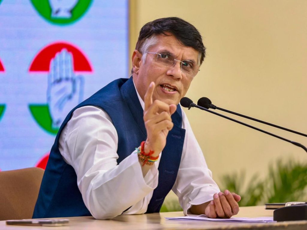
Among those who were quick to react was Congress leader Pawan Khera, who took to Twitter to target Prime Minister Narendra Modi. Khera tweeted, “Another day, another feather in Vishwaguru’s cap. His ‘friend’ shows J&K as a part of Pakistan.” The tweet was accompanied by a screenshot of the IDF’s map, which caused widespread outrage and ridicule.
The IDF later issued an apology for the mistake, stating that the map was an illustration and did not depict precise borders. The apology was met with skepticism by many, who pointed out that the illustration was still grossly inaccurate and showed the UT of Jammu and Kashmir as a part of Pakistan.
The incident has sparked a heated debate about the accuracy of maps and the need for precision in representing territorial boundaries. Many have pointed out that maps are often used to convey information and can have significant implications for international relations and diplomacy.
The IDF’s mistake has also raised questions about the Israeli military’s understanding of international borders and its relationship with neighboring countries. India and Pakistan have had a long-standing dispute over the territory of Jammu and Kashmir, which has led to several wars and skirmishes between the two countries.
The incident has also been seen as a reflection of the complex and often fraught relationship between India and Israel. While the two countries have close diplomatic ties and cooperate on several issues, they also have significant differences and disagreements.
In recent years, there has been a growing trend towards greater cooperation between India and Israel, particularly in the fields of defense and technology. The two countries have signed several agreements and have cooperated on several projects, including the development of advanced military equipment.
However, the relationship between India and Israel is not without its challenges and complexities. There are still significant differences between the two countries, particularly with regard to the Israel-Palestinian conflict and the status of Jerusalem.
The IDF’s mistake has also sparked a debate about the role of social media in international relations. Social media platforms have become increasingly important in shaping public opinion and influencing international relations.
In this case, the IDF’s mistake was quickly highlighted and ridiculed on social media, which has led to a wider debate about the accuracy and precision of maps and the need for greater care and attention to detail in representing territorial boundaries.
In conclusion, the IDF’s mistake in sharing a map that showed Jammu and Kashmir as a part of Pakistan is a significant incident that highlights the importance of accuracy and precision in representing territorial boundaries. The incident has sparked a heated debate about the role of maps in international relations and the need for greater care and attention to detail in representing territorial boundaries.
It has also raised questions about the Israeli military’s understanding of international borders and its relationship with neighboring countries. The incident has also been seen as a reflection of the complex and often fraught relationship between India and Israel.
News Source: https://x.com/Pawankhera/status/1933549006367416545
