Israel Shares Map Showing J&K in Pakistan, Apologises Later
In a recent incident that has sparked controversy, the Israel Defense Forces (IDF) shared a map on their official Twitter handle, showing the Indian Union Territory (UT) of Jammu and Kashmir as a part of Pakistan. The map was shared as part of a tweet discussing the territories controlled by the IDF and the Pakistani military.
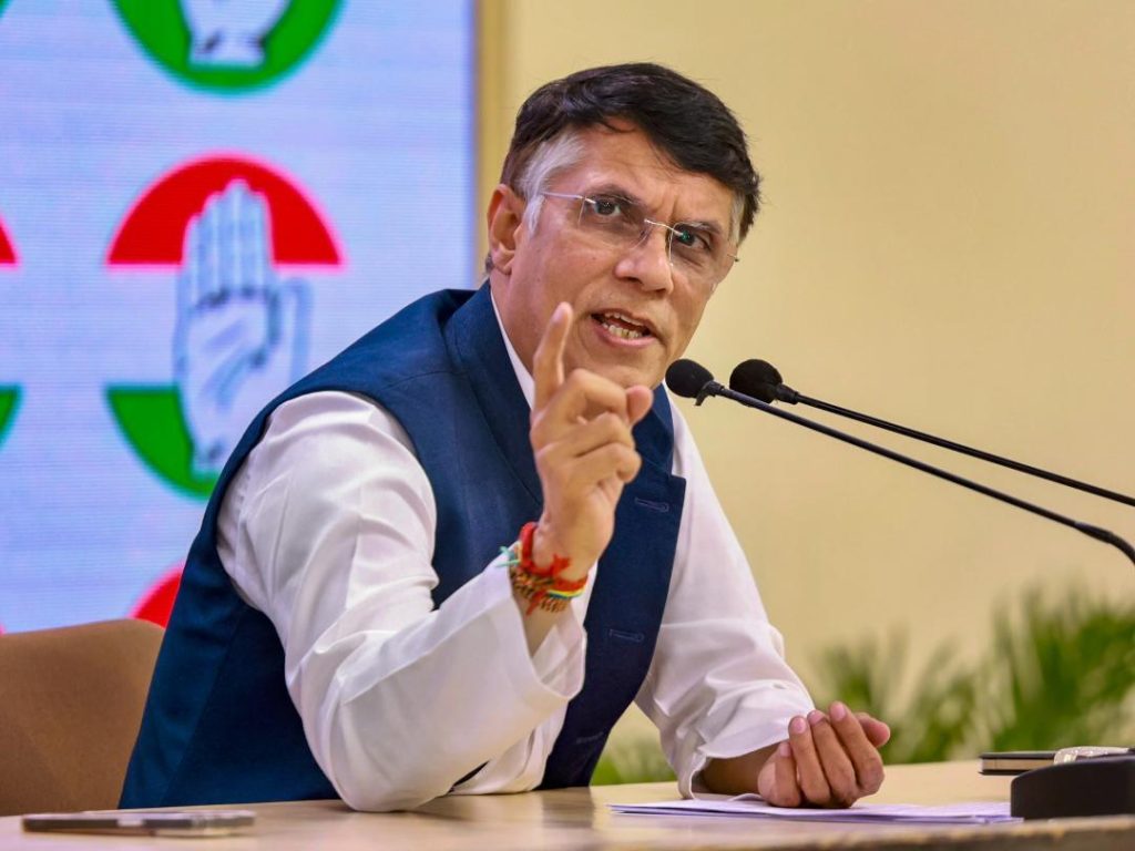
The tweet quickly went viral, with many users expressing shock and outrage at the apparent mistake. Among those who took to social media to comment on the issue was Congress leader Pawan Khera, who targeted Prime Minister Narendra Modi and said, “Another day, another feather in Vishwaguru’s cap. His ‘friend’ shows J&K as a part of Pakistan.” Vishwaguru is a term used to describe PM Modi’s perceived influence on international affairs.
Khera’s tweet was shared widely, with many users expressing their disagreement with the IDF’s mistake. The incident has sparked a heated debate on social media, with some users calling for the IDF to apologize and correct their mistake.
However, the IDF later issued an apology, saying that the map was an illustration and did not depict precise borders. The organization stated that the map was intended to provide a general overview of the territories under their control, rather than a precise representation of international borders.
The incident has raised questions about the level of accuracy and attention to detail that organizations like the IDF should strive for, especially when sharing information on sensitive topics like international borders. It is also a reminder of the importance of verifying information before sharing it on social media, especially when it comes to sensitive topics that can easily be misinterpreted or misunderstood.
The map in question appears to be a general illustration of the Middle East, showing the territories controlled by the IDF and the Pakistani military. While it is not uncommon for maps to use simplified or stylized representations of borders, the inclusion of Jammu and Kashmir as a part of Pakistan is a significant mistake that has raised eyebrows.
The incident has sparked a heated debate on social media, with some users calling for the IDF to apologize and correct their mistake. Others have pointed out that the map is not a formal representation of international borders, but rather an illustration intended to provide a general overview.
Regardless of the intentions behind the map, the inclusion of Jammu and Kashmir as a part of Pakistan is a significant mistake that has sparked controversy. The UT has been a disputed territory since the partition of India and Pakistan in 1947, and its status remains a sensitive topic to this day.
The incident has also raised questions about the level of coordination and communication between the IDF and the Indian government. While the IDF has apologized for their mistake, it is unclear whether the Indian government was consulted or informed about the map before it was shared on social media.
In conclusion, the incident highlights the importance of accuracy and attention to detail in sharing information on sensitive topics like international borders. It also underscores the need for organizations like the IDF to verify the information they share on social media before posting it, especially when it comes to sensitive topics that can easily be misinterpreted or misunderstood.
