10 Satellites Working to Ensure Citizens’ Safety: ISRO
As India and Pakistan continue to engage in a heated standoff, the Indian Space Research Organisation (ISRO) has announced that it has deployed 10 satellites to ensure the safety and security of Indian citizens. According to ISRO chairman V Narayanan, these satellites are working around the clock to monitor the country’s borders and seashores, providing critical information to the government and security agencies.
In an interview with a leading news channel, Narayanan highlighted the importance of satellite technology in ensuring the security of India. “We have to monitor our 7,000 km seashore areas. Without satellite and drone technology, we can’t achieve many things,” he said.
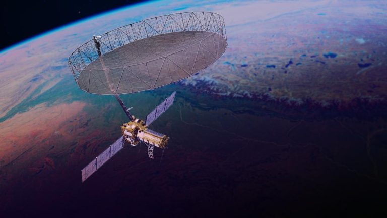
The 10 satellites, which are equipped with advanced sensors and cameras, are capable of capturing high-resolution images of the country’s borders, detecting any suspicious activity, and providing real-time information to the authorities. The satellites are also equipped with sensors that can detect temperature, humidity, and other environmental factors, which can be used to track the movement of people and vehicles.
The satellites are part of ISRO’s surveillance program, which is designed to provide critical information to the government and security agencies. The program, which is run by ISRO’s National Remote Sensing Centre (NRSC), uses a combination of satellite and drone technology to monitor the country’s borders and seashores.
ISRO’s surveillance program is not a new initiative. The organisation has been using satellite technology to monitor the country’s borders and seashores for several years. However, the recent tensions between India and Pakistan have highlighted the importance of these satellites in ensuring the safety and security of Indian citizens.
The latest development comes as ISRO is scheduled to launch another surveillance satellite on May 18. The satellite, which is scheduled to be launched from the Satish Dhawan Space Centre in Sriharikota, will be equipped with advanced sensors and cameras that will enable it to capture high-resolution images of the country’s borders and seashores.
The launch of the new satellite is expected to further enhance ISRO’s surveillance capabilities, providing the government and security agencies with real-time information on any suspicious activity. The satellite will also be equipped with sensors that can detect temperature, humidity, and other environmental factors, which can be used to track the movement of people and vehicles.
ISRO’s surveillance program is not limited to satellite technology. The organisation is also using drones to monitor the country’s borders and seashores. ISRO has developed a range of drones that are equipped with advanced sensors and cameras, which can be used to capture high-resolution images of the country’s borders and seashores.
The drones are used to monitor the country’s borders and seashores, providing real-time information to the authorities. They are also used to detect any suspicious activity, such as illegal fishing or smuggling.
ISRO’s surveillance program is a critical component of India’s national security strategy. The organisation’s satellites and drones provide critical information to the government and security agencies, enabling them to respond quickly and effectively to any emerging threats.
In conclusion, ISRO’s 10 satellites are working around the clock to ensure the safety and security of Indian citizens. The satellites are equipped with advanced sensors and cameras that enable them to capture high-resolution images of the country’s borders and seashores, providing critical information to the government and security agencies. The launch of another surveillance satellite on May 18 is expected to further enhance ISRO’s surveillance capabilities, providing the government and security agencies with real-time information on any suspicious activity.


