10 Satellites Working to Ensure Citizens’ Safety: ISRO
In the wake of heightened tensions between India and Pakistan, the Indian Space Research Organisation (ISRO) has been working tirelessly to ensure the safety and security of Indian citizens. According to ISRO chairman V Narayanan, 10 satellites are continuously working around the clock to monitor the country’s borders and coastline, ensuring that any potential threats are identified and addressed promptly.
Speaking to the media, Narayanan emphasized the importance of satellite technology in maintaining national security. “We have to monitor our 7,000 km seashore areas. Without satellite and drone technology, we can’t achieve many things,” he said. The chairman’s remarks come as a reminder of the critical role that ISRO plays in protecting India’s sovereignty and territorial integrity.
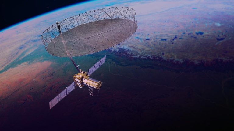
ISRO’s satellite network is a testament to the organization’s commitment to innovation and excellence. The 10 satellites currently in operation are equipped with advanced sensors and cameras that enable them to capture high-resolution images of the Indian subcontinent. These images are then analyzed by ISRO scientists to identify potential threats, such as enemy ships or aircraft, and to track the movement of people and goods across the border.
One of the key areas where ISRO’s satellites are making a significant impact is in the field of surveillance. The organization’s satellites are equipped with advanced sensors that can detect and track objects in real-time, providing valuable intelligence to the Indian military and other law enforcement agencies. This information is then used to inform strategic decisions and to take prompt action to address any potential threats.
ISRO is not just limited to surveillance, however. The organization’s satellites are also used for a range of other applications, including disaster management, weather forecasting, and communication. In the event of a natural disaster, such as a cyclone or earthquake, ISRO’s satellites can provide critical information to first responders, helping them to respond quickly and effectively to the crisis.
In addition to its operational satellites, ISRO is also working on several new projects aimed at enhancing the country’s surveillance capabilities. One of the most significant of these projects is the launch of a new surveillance satellite, which is scheduled to take place on May 18. The new satellite will be equipped with advanced sensors and cameras that will enable it to capture even higher-resolution images of the Indian subcontinent.
ISRO’s efforts to enhance the country’s surveillance capabilities are not limited to satellite technology alone. The organization is also working closely with the Indian military and other law enforcement agencies to develop new drones that can be used to monitor the country’s borders and coastline. These drones will be equipped with advanced sensors and cameras that will enable them to capture high-resolution images of the area below, providing valuable intelligence to the Indian military and other law enforcement agencies.
In conclusion, ISRO’s 10 satellites are working tirelessly to ensure the safety and security of Indian citizens. From surveillance to disaster management, the organization’s satellites are playing a critical role in protecting the country’s sovereignty and territorial integrity. With the launch of new satellites and drones on the horizon, ISRO is poised to continue playing a leading role in the development of India’s surveillance capabilities.


