Scientists Use Laser Drones to Count Trees in China
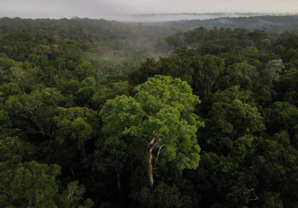
In a groundbreaking study, researchers have used laser-equipped drones to estimate the number of trees in China, revealing a staggering 142.6 billion trees across the country. This remarkable achievement is not only a significant contribution to the field of forestry but also highlights the importance of innovative technologies in environmental monitoring.
The study, published in a research paper titled “How many trees are there in China?”, employed a cutting-edge laser-based mapping technique called LiDAR (Light Detection and Ranging) to collect data from drones since 2015. This high-resolution mapping technique allowed researchers to accurately count the number of trees and estimate their density across China.
According to the lead author of the study, Qinghua Guo, the findings represent the first-ever high-resolution mapping of tree density across China. “The study demonstrates the potential of LiDAR technology to provide accurate and detailed information on forest cover and tree density, which is crucial for understanding the carbon cycle, habitat conservation, and forest management,” Guo explained.
The study’s findings are not only impressive in terms of the sheer number of trees but also shed light on the distribution of trees across different regions of China. The researchers found that the majority of China’s trees are concentrated in the eastern and southern regions, with the provinces of Sichuan, Yunnan, and Guizhou having the highest tree density.
The significance of this study cannot be overstated, as it provides vital information for policymakers, foresters, and conservationists. China is one of the world’s largest consumers of wood products, and accurate estimates of tree density are essential for sustainable forestry practices and carbon sequestration efforts.
The use of LiDAR technology and drones in this study is particularly noteworthy, as it demonstrates the potential of innovative technologies to revolutionize environmental monitoring. LiDAR has been used in various applications, including mapping, surveying, and natural disaster response, but its application in forestry is relatively new.
The study’s findings have far-reaching implications for China’s forestry sector, which is facing significant challenges, including deforestation, land degradation, and climate change. The accurate estimation of tree density is critical for developing effective conservation strategies and implementing sustainable forestry practices.
The use of drones in this study is also significant, as it highlights the potential of unmanned aerial vehicles (UAVs) in environmental monitoring. Drones are increasingly being used in various applications, including agriculture, construction, and emergency response, but their use in forestry is still in its infancy.
In conclusion, the study’s findings are a testament to the power of innovative technologies in environmental monitoring and the importance of accurate data in informing sustainable forest management practices. The use of LiDAR technology and drones has opened up new possibilities for forestry research and conservation, and it is essential that policymakers and conservationists continue to invest in these technologies to protect China’s precious forests.
Source:
Qinghua Guo, et al. (2023). How many trees are there in China? ResearchGate. Retrieved from https://www.researchgate.net/publication/388770712_How_many_trees_are_there_in_China