How does Sentinel-2 protect India’s biodiversity?
India, a country with a rich and diverse range of flora and fauna, is home to some of the most unique and threatened ecosystems in the world. The country’s wetlands, in particular, play a crucial role in supporting its biodiversity, with many species of plants and animals depending on these ecosystems for survival. However, India’s wetlands are facing numerous threats, including climate change, pollution, and human activities such as agriculture and urbanization. To combat these threats and protect India’s biodiversity, scientists at the Indian Space Research Organisation (ISRO), the Indian Institute of Space Technology (IIST), and Gujarat University have developed a new satellite mapping system, Sentinel-2.
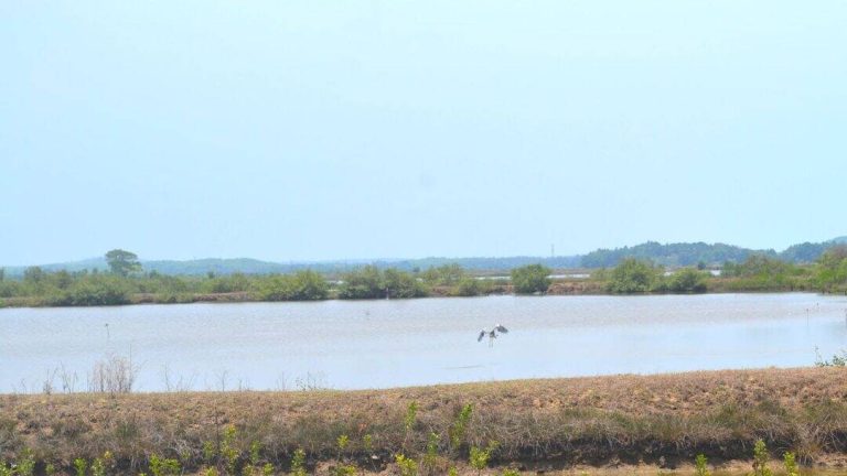
Sentinel-2 is a cutting-edge technology that uses satellite imagery to monitor and map India’s wetlands. The system is capable of identifying submerged plants with an impressive 94% accuracy, making it a valuable tool for conservation efforts. Recently, a study was conducted using Sentinel-2 to monitor 500 of India’s largest wetlands. The results of the study are alarming, with nearly 100 lakes, mostly in central and southern India, showing a significant decline in vital plant life.
The study used Sentinel-2 to analyze satellite images of the wetlands, which were then compared to field observations to validate the accuracy of the system. The results showed that the system was able to identify submerged plants with a high degree of accuracy, making it a reliable tool for monitoring the health of India’s wetlands. The study also revealed that many of India’s wetlands are facing significant threats, including climate change, pollution, and human activities such as agriculture and urbanization.
The decline of plant life in India’s wetlands is a major concern, as these ecosystems play a critical role in supporting the country’s biodiversity. Wetlands provide habitat for a wide range of plant and animal species, many of which are found nowhere else in the world. They also help to regulate the water cycle, prevent flooding, and maintain water quality. The loss of plant life in these ecosystems can have significant consequences, including the loss of biodiversity, decreased water quality, and increased vulnerability to climate change.
The study’s findings call for urgent climate actions to protect India’s wetlands and the biodiversity they support. The Indian government has already taken steps to protect the country’s wetlands, including the launch of the National Wetland Conservation Programme. However, more needs to be done to address the scale and complexity of the threats facing these ecosystems.
One of the key advantages of Sentinel-2 is its ability to provide detailed and accurate information about the health of India’s wetlands. The system can be used to monitor changes in plant life, water quality, and other environmental parameters, allowing conservation efforts to be targeted and effective. The system can also be used to identify areas that are most at risk, allowing for proactive measures to be taken to protect these ecosystems.
In addition to its use in monitoring wetlands, Sentinel-2 has a range of other applications, including agriculture, forestry, and disaster management. The system can be used to monitor crop health, track changes in land use, and identify areas that are at risk of natural disasters such as floods and landslides.
In conclusion, Sentinel-2 is a powerful tool for protecting India’s biodiversity. The system’s ability to identify submerged plants with a high degree of accuracy makes it a valuable asset for conservation efforts. The study’s findings highlight the urgent need for climate action to protect India’s wetlands and the biodiversity they support. By using Sentinel-2 and other technologies, India can take proactive steps to protect its natural heritage and ensure a sustainable future for generations to come.
News Source: https://researchmatters.in/news/satellite-monitoring-reveals-declining-plant-life-hundreds-indian-wetlands