How does Sentinel-2 protect India’s biodiversity?
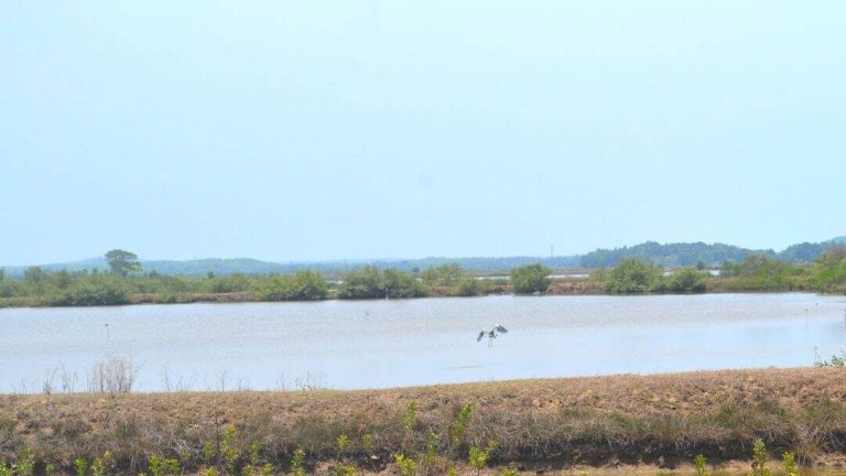
India, a country with a rich and diverse range of flora and fauna, is home to numerous wetlands that support a wide variety of plant and animal life. However, these wetlands are facing numerous threats, including climate change, pollution, and human activities, which are leading to a decline in biodiversity. To address this issue, scientists at the Indian Space Research Organisation (ISRO), Indian Institute of Space Science and Technology (IIST), and Gujarat University have developed a new satellite mapping system, Sentinel-2, which can identify submerged plants with 94% accuracy.
The Sentinel-2 system has been used to monitor 500 of India’s largest wetlands, and the results are alarming. The study has found that nearly 100 lakes, mostly in central and southern India, are experiencing a major decline in vital plant life. This decline is not only affecting the biodiversity of these wetlands but also having a significant impact on the ecosystem services they provide, including water filtration, flood control, and habitat provision for numerous species.
The Sentinel-2 system uses advanced satellite imaging technology to map the vegetation in wetlands. The system is equipped with a high-resolution camera that can capture images of the Earth’s surface in multiple spectral bands, including visible, near-infrared, and short-wave infrared. These images are then analyzed using specialized software to identify the type and extent of vegetation in the wetlands.
The study used Sentinel-2 data to map the vegetation in 500 wetlands across India. The results showed that many of these wetlands are experiencing a decline in plant life, with some lakes losing up to 50% of their vegetation over the past few years. The decline is most pronounced in central and southern India, where many lakes are experiencing significant changes in water levels, water quality, and sedimentation.
The decline in plant life in India’s wetlands is a cause for concern, as it can have significant impacts on the ecosystem services these wetlands provide. Wetlands play a crucial role in maintaining water quality, regulating water flows, and providing habitat for numerous species. They also support a wide range of human activities, including agriculture, fishing, and tourism.
The Sentinel-2 system has several advantages over traditional methods of monitoring wetland vegetation. It can provide high-resolution images of large areas, allowing scientists to monitor changes in vegetation over time. It can also provide detailed information on the type and extent of vegetation, allowing scientists to identify areas that are most at risk.
The study’s findings call for urgent climate actions to protect India’s wetlands. The decline in plant life in these wetlands is a warning sign that the ecosystem is under stress, and if left unchecked, it can have significant impacts on the environment, human health, and the economy.
To address this issue, the government and conservation organizations need to take immediate action to protect India’s wetlands. This can include measures such as restoring degraded wetlands, controlling pollution, and promoting sustainable land-use practices. Additionally, there is a need for more research on the impacts of climate change on wetlands and the development of effective strategies for mitigating these impacts.
In conclusion, the Sentinel-2 system is a powerful tool for monitoring India’s wetlands and identifying areas that are most at risk. The study’s findings highlight the need for urgent climate actions to protect these ecosystems and the biodiversity they support. By using advanced satellite imaging technology and collaborating with government and conservation organizations, scientists can help to protect India’s wetlands and the numerous benefits they provide to the environment and human societies.
The development of the Sentinel-2 system is a significant step forward in the field of wetland conservation, and it has the potential to make a significant impact on the protection of India’s biodiversity. By providing high-resolution images of wetland vegetation, the system can help scientists to identify areas that are most at risk and develop effective strategies for mitigating the impacts of climate change.
Furthermore, the Sentinel-2 system can also be used to monitor other ecosystems, including forests, grasslands, and coral reefs. It can provide detailed information on the health and extent of these ecosystems, allowing scientists to identify areas that are most at risk and develop effective conservation strategies.
In addition, the Sentinel-2 system can also be used to support sustainable development and resource management. By providing detailed information on land-use patterns, water quality, and ecosystem health, the system can help policymakers and resource managers to make informed decisions about how to manage natural resources and promote sustainable development.
Overall, the Sentinel-2 system is a powerful tool for protecting India’s biodiversity and promoting sustainable development. Its ability to provide high-resolution images of wetland vegetation and other ecosystems makes it an essential tool for scientists, conservationists, and policymakers. By using this technology, we can work towards a future where India’s wetlands and other ecosystems are healthy, thriving, and able to provide numerous benefits to the environment and human societies.